From EncyclopAtys
C'est le nom donné aux chemins ouverts et balisés par Oflovak Rydon, depuis le refuge des Primes Racines jusqu'aux Nouvelles Terres d'abord, pendant et après le Grand Essaim. Ètendue jusqu'aux anciennes, cette route a permis aux homins qui n'avaient pu emprunter les Arcs-en-ciels de rejoindre les Nouvelles Terres dès 2487. Elle débouche maintenant sur l'île de Silan. Le Second Essaim l'a rendue bien moins sure et le balisage a été détérioré, mais elle reste encore empruntée par des réfugiés, au début des années 2600.
La route est longue d'environ 2500km à vol d'avian. La majeure partie de la route traverse un désert et la carte ci-dessous ne représente que la partie terminale. C'est une étape critique, où les réfugiés s'égarent fréquemment; en effet trois jours sont nécessaires pour la traverser à dos de Mektoub.
Elle est encore surveillée par les Rangers (surtout le tronçon final), qui y font également passer à leurs Aspirants le rite de de qualification Ranger.
This is the name given to the paths opened and marked out by Oflovak Rydon, from the Prime Roots refuge to the New Lands first, during and after the Great Swarming. Extended to the old ones, this route allowed homins who had been unable to travel through the Rainbows to reach the New Lands as early as 2487. It now leads to the island of Silan. The Second Swarming made it much less safe and the markings have deteriorated, but it is still used by refugees in the early 2600s.The road is about 2500 km long as the Izam flies. Most of the road passes through a desert and the map below shows only the terminal part. It is a critical section, where refugees frequently get lost, as it takes three days to cross it on the back of a Mektoub.
It is still watched over by the Rangers (especially on the final segment), who also perform the Ranger qualification rite for their Aspirants.

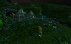
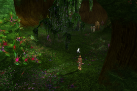
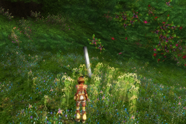
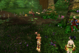
The first three luciograms below show the markers installed by Oflovak Rydon (first is rite starting camp), the last one shows a group of refugees still on the road, rescued by a few Rangers.
Template:Portail
Catégorie:Anciennes Terres Catégorie:Nouvelles Terres Catégorie:Géographie Catégorie:Rangers|DE=Oflovaks Weg
